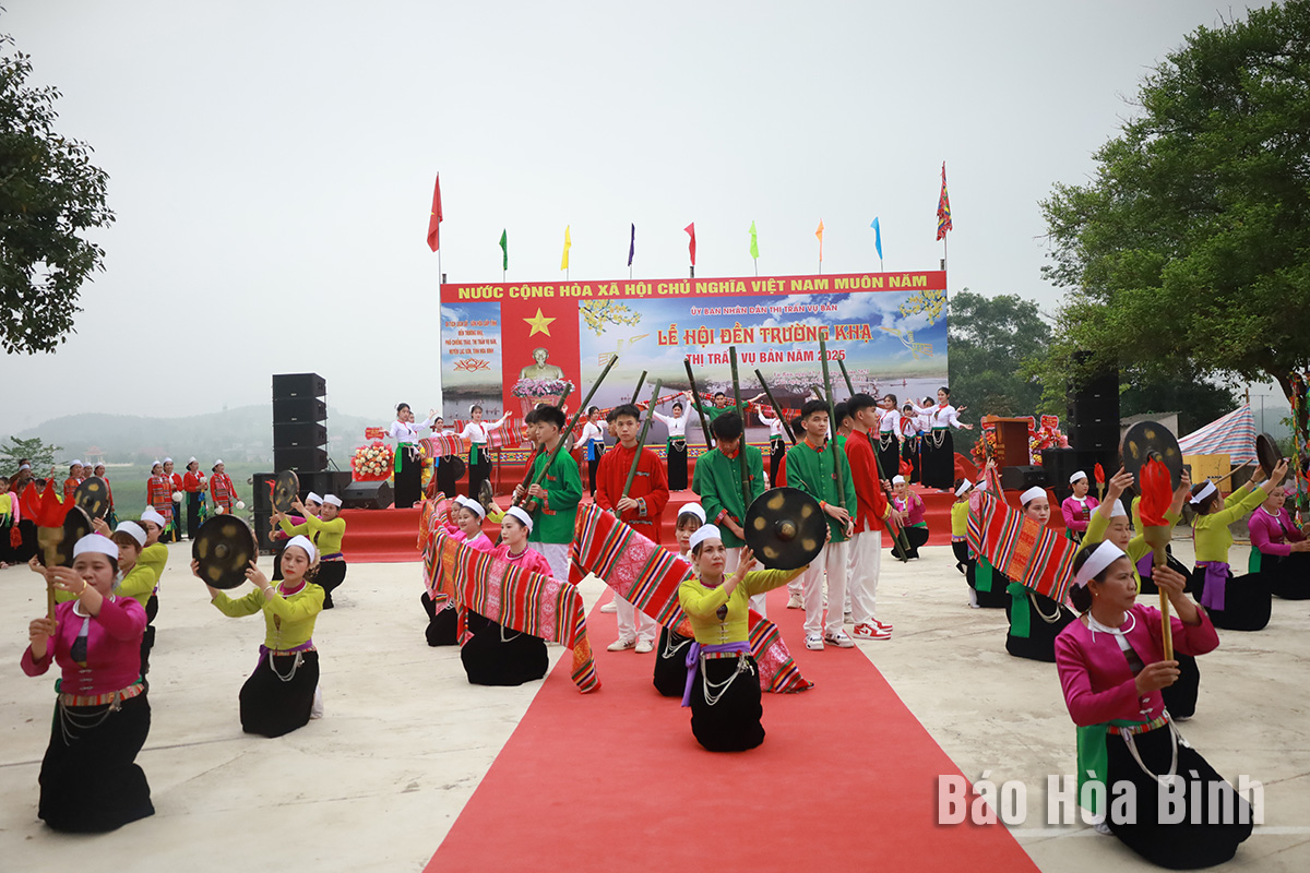
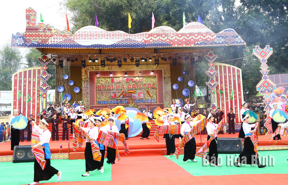
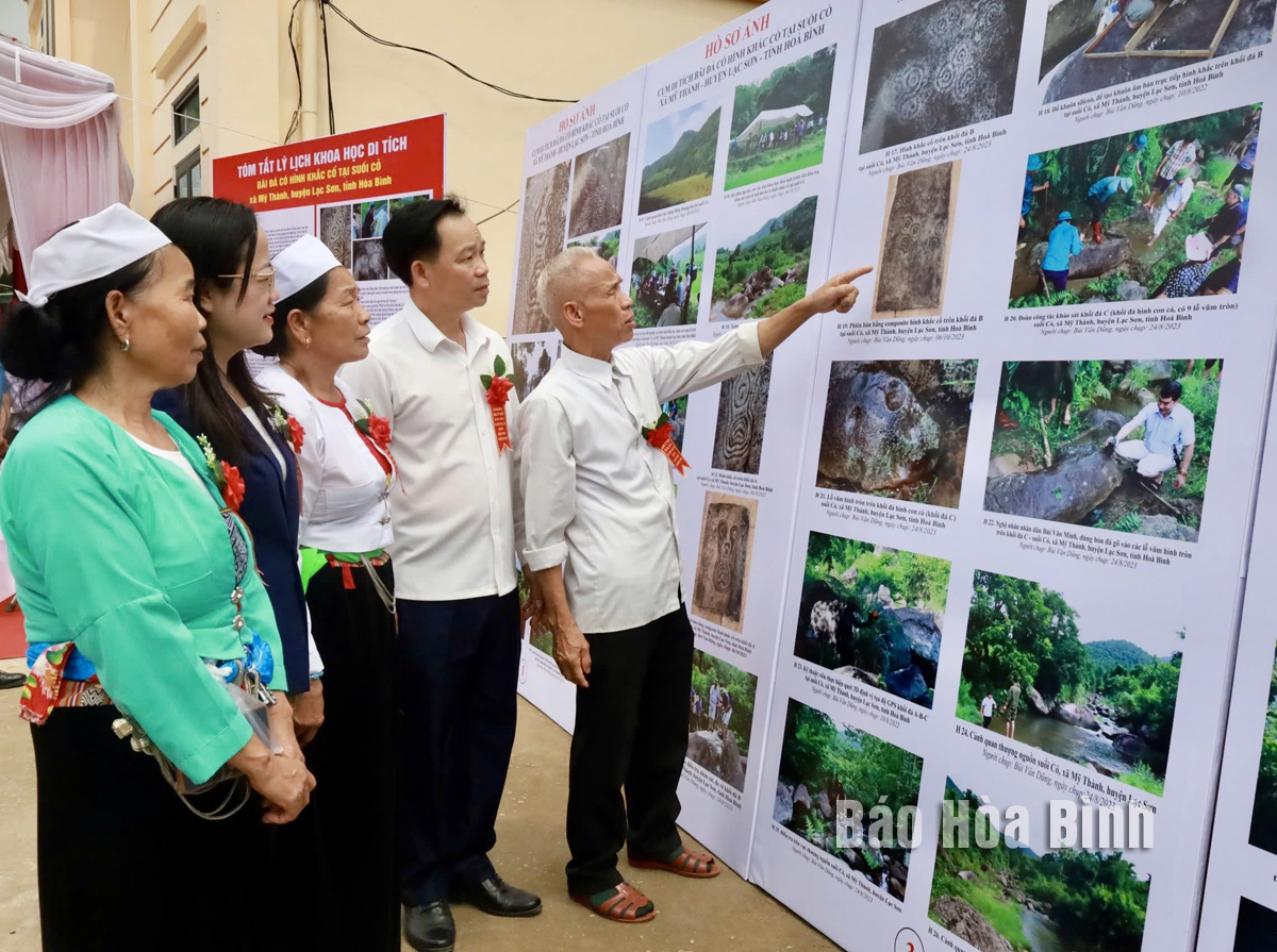
Hoa Binh province has captured growing attention both domestically and internationally for its distinctive cultural heritage and rich history. Most notably, it has been renowned for its famous Hoa Binh culture, considered the cradle of ancient Vietnamese civilisation. Looking ahead to significant milestones in 2025 and the 140th anniversary of province establishment in 2026, Hoa Binh Newspaper presents a comprehensive overview of the province's development across economic, social, cultural, tourism, and security domains.
Hoa Binh province occupies a strategically vital position in
northern Vietnam, serving as the gateway to Hanoi and the northwest region. It
forms a crucial link between the Red River Delta, north central regions, and
Upper Laos. The province boasts significant potential for socioeconomic growth
and green tourism development.
Spanning nearly 4,600 square kilometres with a
population approaching 900,000, Hoa Binh comprises nine districts and one city,
with Hoa Binh city serving as the provincial capital. The locality is home to
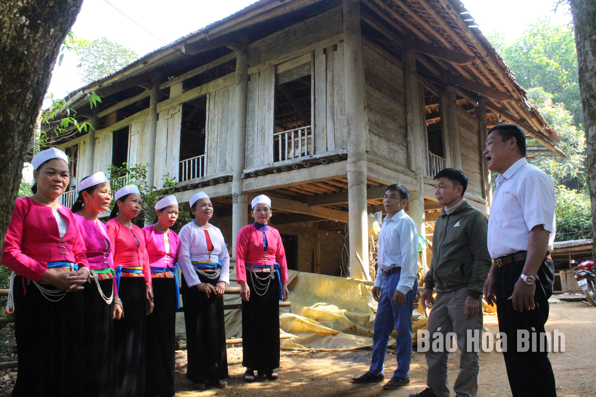
six major ethnic groups living in harmony, with the Muong people forming the
largest community (63.3% of the population), followed by Kinh (27.73%), and
smaller populations of Thai, Tay, Dao, Mong, and many others.
Characterised by mountainous terrain in the
northwest of Vietnam, Hoa Binh features complex topography with steep slopes
trending northwest to southeast. The province is divided into two distinct
zones, the highlands in the northwest and the lower mountainous area in the
southeast. Major rivers including Da, Boi, Buoi, and Bui are distributed evenly
across the province.
In October
1991, after Hoa Binh province was re-established, residents faced numerous challenges
crossing the Da River, relying on pontoon bridges, boats, and rafts.
The locality was established on June 22, 1886
under the original name of Muong province. Initially, the provincial capital
was located at Cho Bo street in Hien Luong commune, Da Bac district. The
province comprised four counties: Vang An, Luong Son, Lac Son, and Cho Bo. In
April 1888, the province was renamed Phuong Lam province under the French
colonial administration.
On March 18, 1891, a decree was issued, authorising
the relocation of the provincial capital to Vinh Dieu village in Hoa Binh
commune, officially changing the name of the province to Hoa Binh. At that
time, Muong Hoa Binh province consisted of six counties, namely Ky Son, Lac
Son, Lac Thuy, Luong Son, Da Bac, and Chau Mai.
On October 24, 1908, the Governor-General of
Indochina issued a decree incorporating Lac Thuy into Ha Nam province, leaving
Hoa Binh with five counties.
In May 1953, Lac Thuy district and several
communes from Nho Quan district in Ninh Binh province were transferred to Hoa
Binh. From 1950 onward, the counties were called districts, undergoing
significant changes, with Mai Da district split into Da Bac district north of
the Da River and Mai Chau district to the south on September 21, 1956.
Additional restructuring took place throughout the following decades, with Lac
Son divided into Lac Son and Tan Lac (1957), Luong Son into Luong Son and Kim
Boi (1959), and Lac Thuy into Lac Thuy and Yen Thuy (1964).
On December 27, 1975, during the 2nd session of
the 5th National Assembly, Hoa Binh was merged with Ha Tay province to form Ha
Son Binh province. According to a resolution passed at the 9th session of the
8th National Assembly on August 12, 1991, Ha Son Binh province was divided into
Hoa Binh and Ha Tay provinces. At that time, Hoa Binh covered 4,697 square
kilometres with a population of 670,000, comprising ten administrative units.
In December 2001, Ky Son district was split into
Ky Son and Cao Phong. On October 27, 2006, Hoa Binh township was designated a
tier-3 urban area and called Hoa Binh city.
Today, Hoa Binh province encompasses nine
districts and one city, with 151 communes, wards, and towns.